
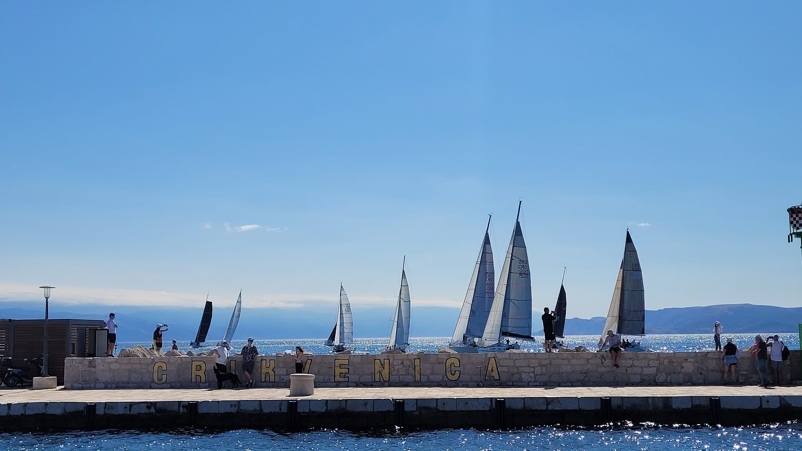
Town of Crikvenica (Croatia)
Crikvenica is located on the northeastern Adriatic coast, in the Primorje-Gorski Kotar County, covering nearly 58 km² including its marine area . The town’s coastal belt is characterized by a rocky indented shoreline, sandy beaches, and the Dubračina River valley, which runs through the urban area.
With around 11,000 inhabitants, Crikvenica is a well-known tourist destination with strong seasonal population peaks. Its location also makes it a hydrological hotspot: the Dubračina River and the Tribalj reservoir increase the risk of flooding, while coastal infrastructure and urbanization face growing threats from storm surges, erosion, and heavy rainfall events.
Crikvenica was selected as a pilot area because it combines urban density, coastal tourism, and hydro-geological risks in a relatively small and clearly defined territory – offering a model for similar Adriatic towns balancing development and climate adaptation.
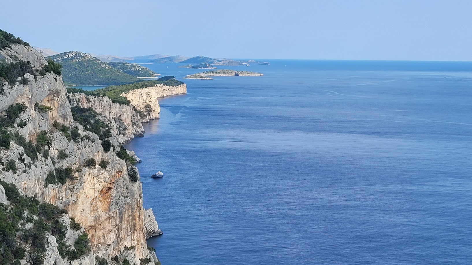
Municipality of Sali (Croatia)
The Municipality of Sali lies in the Zadar archipelago, encompassing the island of Dugi Otok and surrounding islets. Dugi Otok is the seventh largest Croatian island, stretching over 45 km, with dramatic cliffs on its western side exposed to the open Adriatic and deeply indented bays on the eastern side.
Sali has just 1,787 residents (2021 Census), with low population density (14 inhabitants/km²), reflecting broader demographic challenges. Its economy is shaped by seasonal tourism, fisheries, and small-scale agriculture.
From a climate perspective, the island is highly exposed to sea-level rise, coastal erosion, water scarcity, and extreme weather events. Its insular geography, reliance on limited freshwater resources, and strong dependence on tourism make adaptation both urgent and complex. These vulnerabilities, coupled with the presence of valuable ecosystems (e.g., Telašćica Nature Park), make Sali a prime location for testing integrated and participatory adaptation strategies.
Greater Pescara Area (Nuova Pescara, Italy)
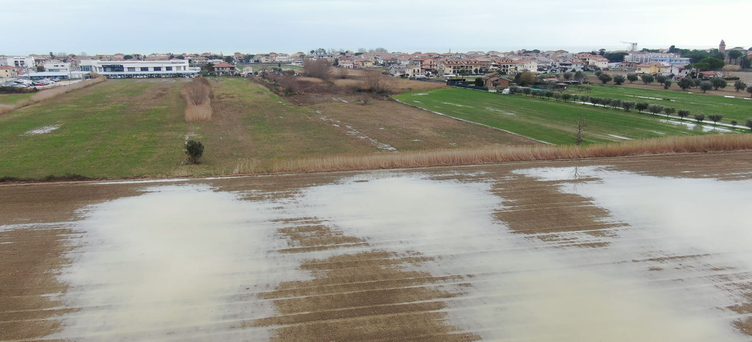
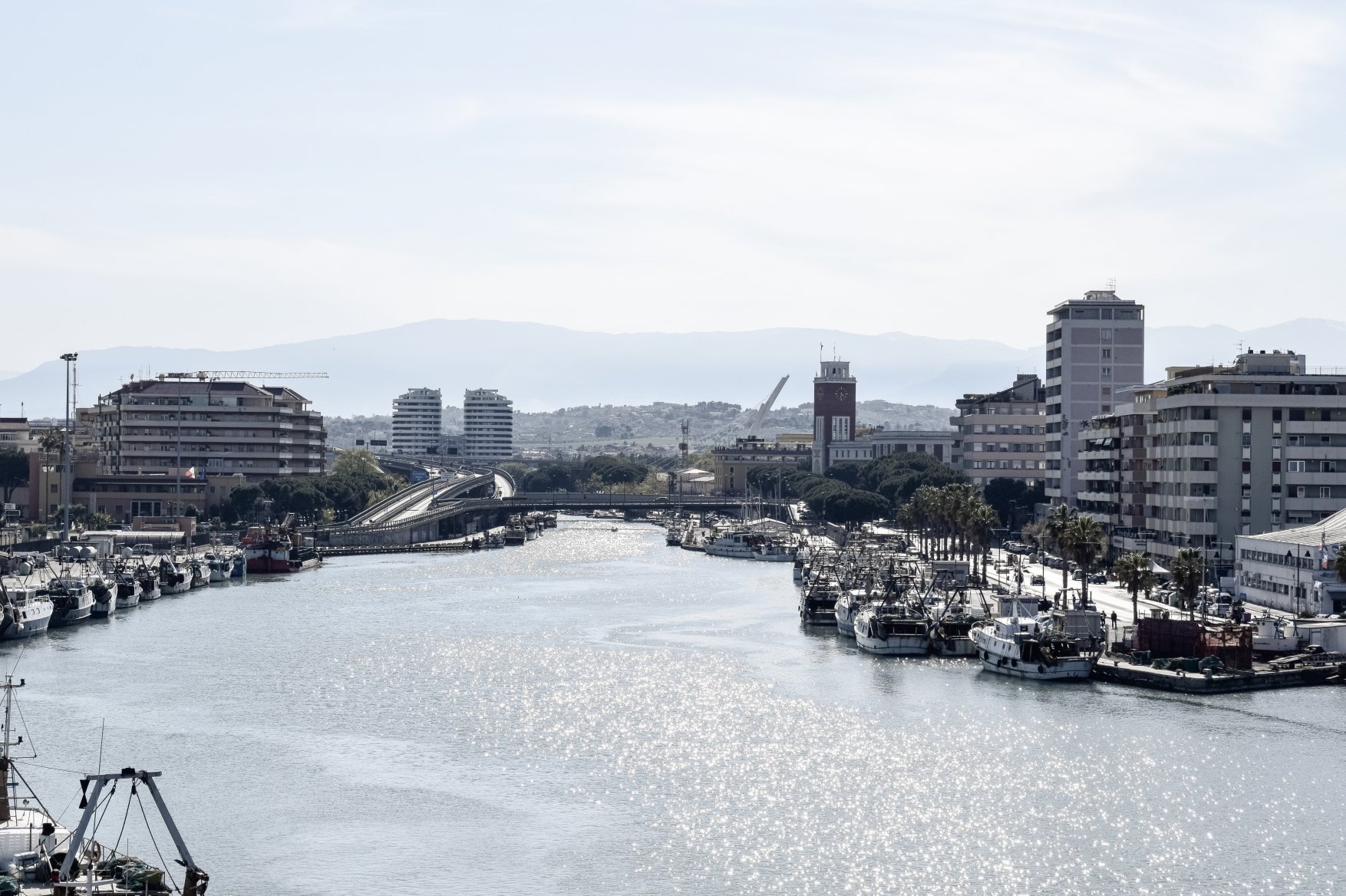
The Nuova Pescara pilot area is located along the central Adriatic coast in Italy’s Abruzzo Region and encompasses the municipalities of Pescara, Montesilvano, and Spoltore, which are scheduled to merge in 2027. Covering about 95 km² and home to around 190,000 residents, the area represents one of the most dynamic urban and economic centers on the Italian Adriatic coast. Its landscape includes densely built coastal zones, river plains, and inland hills, crossed by the Pescara and Saline rivers.
Over the past decades, rapid urbanization, industrial growth, and tourism development have significantly transformed the natural landscape. Coastal dunes, wetlands, and forests have been largely replaced by residential, commercial, and transport infrastructure, much of it just a few meters above sea level. This morphological and socio-economic configuration makes the area highly exposed to coastal erosion, flooding, storm surges, and heatwaves, as well as to increasing stress on water resources.
The Nuova Pescara area was selected as a CRESCO Adria pilot because it exemplifies the challenges faced by densely urbanized coastal regions: the need to protect critical infrastructure, manage urban growth, and strengthen resilience to climate impacts. Its scale, economic importance, and environmental sensitivity provide a valuable testing ground for developing integrated adaptation measures that can guide sustainable coastal planning across the Adriatic.
Pineto Pilot Area (Italy)
The Municipality of Pineto, located north of Pescara in Italy’s Abruzzo Region, offers a contrasting yet complementary context to the metropolitan area of Nuova Pescara. Set along a flat coastal plain between sandy beaches and the Vomano River, Pineto is a medium-sized coastal town of about 14,000 inhabitants. Renowned for its pine forests, dunes, and protected coastal habitats, it embodies the balance between tourism, local identity, and natural heritage.
Although less densely urbanized than Pescara, Pineto is increasingly affected by urban expansion and tourism pressures that have fragmented its once continuous dune system and altered land-use dynamics. Despite these challenges, the area retains significant ecological value—its natural buffers such as dunes and wetlands help mitigate erosion and flooding, protecting both residents and infrastructure.
Pineto faces typical Adriatic coastal risks, including flooding, erosion, and storm surges, which are expected to intensify with sea-level rise and shifting precipitation patterns. Limited data availability and governance coordination further complicate adaptation planning.
As a pilot area, Pineto plays an essential role in demonstrating how nature-based solutions and participatory spatial planning can enhance climate resilience in medium-sized coastal towns. Its compact urban form, strong connection to natural systems, and active local governance make it an ideal testing ground for integrating climate adaptation into planning, protecting coastal ecosystems, and engaging local communities and economic sectors—especially tourism and agriculture.
Pineto illustrates how local identity, environmental assets, and adaptive strategies can come together to shape a sustainable and resilient future for Adriatic coastal communities.