
Meet our pilot areas
Our pilot areas are the core of our project’s work to preserve valuable natural habitats and reduce waste in ecologically sensitive regions. These carefully chosen sites represent a protected and Natura 2000 areas, including rivers, coastal zones, and marine environments. Through science and community cooperation, we aim to create lasting positive impacts on these unique landscapes.
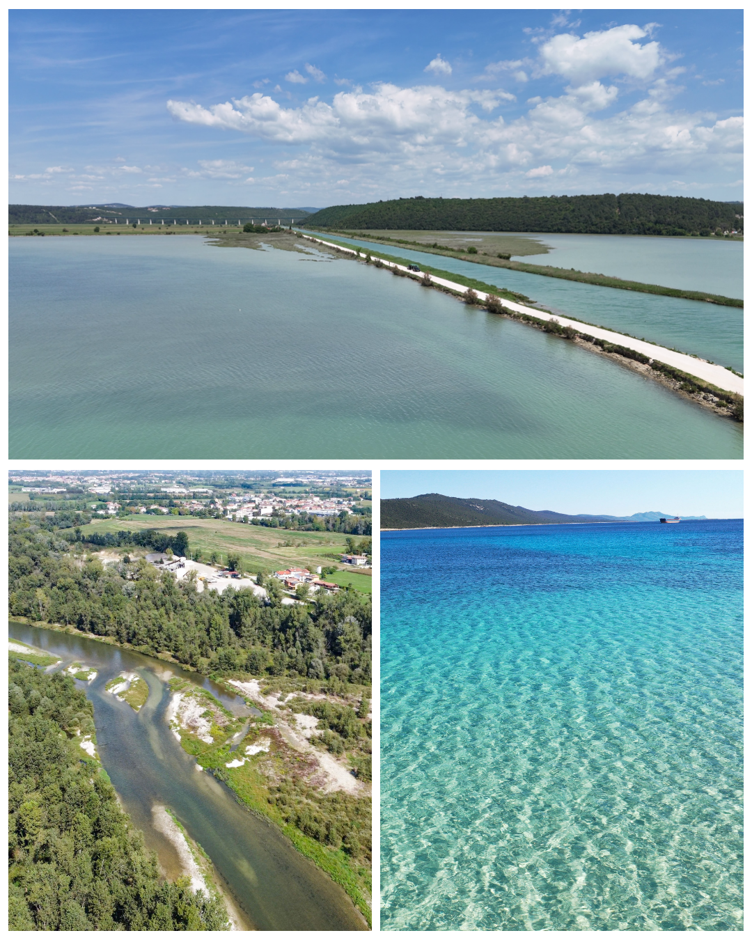
The project focuses on three main pilot areas: the Middle Brenta River in Italy, known for its wetlands and diverse wildlife; the Coasts of Istria in Croatia, which include the Western Istria Aquatory, Mirna River Mouth, and Raša River Mouth, areas rich in Mediterranean vegetation and important aquatic habitats; and Sakarun Bay on Dugi Otok in Croatia, a marine protected site famous for its Posidonia seagrass beds and vibrant marine life.
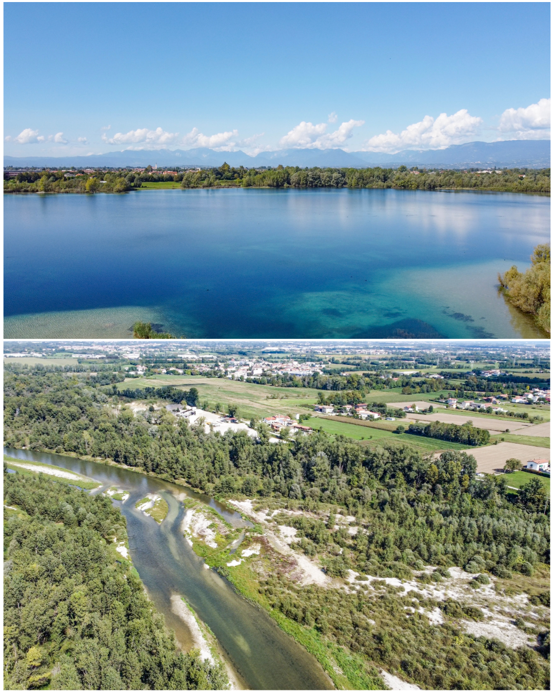
The observed area Grave e Zone umide della Brenta represents the Middle Brenta area, containing a surface of 3.862 ha. It is a part of the Italian ecological network Natura 2000 area (IT3260018), a park that extends from Bassano del Grappa to Padua in Italy. Middle Brenta River is a SPA (Special Protection Areas— Directive Birds 2009/147/EC) and SAC (Special Areas of Conservation—The Habitats Directive 92/43/EEC).
It is recognized at the European level and included in the Natura 2000 Network for its environmental and cultural importance: a true natural oasis with enchanting landscapes, a vast artistic heritage, and a multitude of possibilities for those who wish to experience agritourism, historic villas and monasteries, fishing lakes, educational farms, and an impressive number of stables for incredible horseback rides and the famous Brenta cycle.
It serves as a vital habitat for 55 species listed in the Nature Directives, including amphibians like the Italian agile frog (Rana latastei), various bird species such as the Kingfisher (Alcedo atthis) and Grey Heron (Ardea cinerea), as well as fishes, invertebrates, mammals, and reptiles. The site also protects five important habitat types, including oligotrophic to mesotrophic standing waters, alpine rivers with ligneous vegetation, and alluvial forests with Alnus glutinosa and Fraxinus excelsior.
Regarding the site "Grave e Zone umide della Brenta", it was decided to focus the project actions on the area of the site located within the Veneto municipalities of Cittadella, Carmignano di Brenta, Grantorto, Fontaniva, San Giorgio in Bosco, Campo San Martino, Curtarolo, Vigodarzere, Limena, and Piazzola sul Brenta. This decision reduces the total site area considered the pilot area from 3,848 hectares to 3,187 hectares.
The Aquatory of Western Istria
Akvatorij zapadne Istre is located on the western coast of Istria, between Vrsar and Rovinj, with a surface area of 429.41 ha. Akvatorij zapadne Istre is a SPA (Special Protection Areas—Directive Birds 2009/147/EC) and SAC (Special Areas of Conservation—The Habitats Directive 92/43/EEC). It is a special marine reserved area of the Natura 2000 ecological network.
The shores of Akvatorij zapadne Istre are covered with macchia vegetation such as holm oak (Quercus ilex), mock privet (Phillyrea angustifolia), strawberry tree (Arbutus unedo), viburnum (Viburnum lantana), sarsaparilla (Smilax aspera), mastic tree (Pistacia lentiscus), oriental hornbeam (Carpinus orientalis), and manna ash (Fraxinus excelsior). Microclimatic conditions are the reason for the occurrence of pubescent oak (Quercus pubescens) and Turkish oak (Quercus cerris) in sub-Mediterranean communities. This kind of diverse vegetation in a narrow area makes it a unique and special ecological rarity.
Mirna River Mouth
The Mirna River is the longest river in Istria County, with a length of 53 km. Ušće Mirne is a Special Area of Conservation under the Habitats Directive. In the watershed area of the Mirna River, no zones for the protection of shellfish and freshwater fish have been designated, nor are there defined areas for fishery and shellfish farming concessions, as specified by the Shellfish Protection Directive (79/923/ EEC), the Freshwater Fish Directive (78/659/EEC), and the Water Framework Directive (2000/60/EC).
Mirna River Mouth is rich in flora and fauna, with hundreds of bird species, numerous amphibians, reptiles, and mammals, many of which are legally protected.
Raša River Mouth
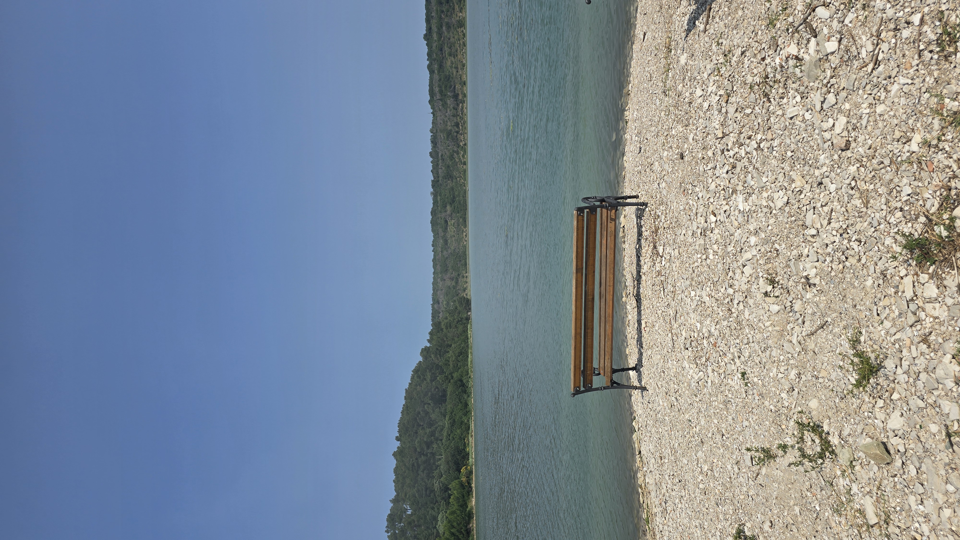
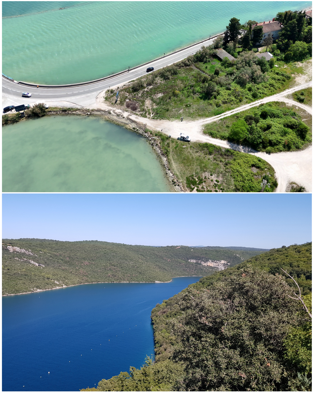
The Raša is a major river in Croatian Istria County. The bay is 12 kilometres long, up to 1 km wide, and tidal waves influence the appearance of brackish water in the lower part of the Raša Riverflow.
Ušće Raše consists of brackish water with ongoing processes of sedimentation, surrounded by fields and wooded hills, and it merges into the Adriatic, located in the eastern part of Istria, sparsely populated. The area is stocked with fish such as carp (Cyprinus carpio), perch (Perca fluviatilis), eels (Anguilla anguilla), European seabass (Dicentrarchus labrax), and mullet (Mugil cephalus).
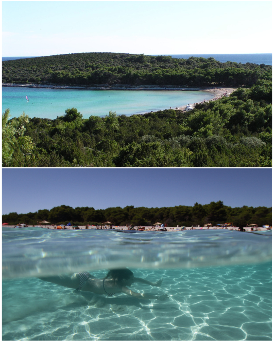
Sakarun Bay (Uvala Sakarun), located on Dugi Otok in Dalmatia, is a marine protected area in Croatia, encompassing a total area of 438.54 hectares. It belongs to the "Significant Landscape Northwestern part of Dugi otok" conservation area, underlined with the Marine Strategy Framework Directive and is a part of the Croatian ecological network Natura 2000 (HR3000069).
This region has been recognized for its ecological significance in maintaining various habitat types and the preservation of wild species such as posidonia (Posidonia oceanica) settlements, sandy bottoms permanently covered by the sea and ridges.
In Sakarun Bay, under the sea, it is possible to find numerous shoals, reefs, and a specific and rich biocenosis (ichthyofauna, shells, etc.).
The management of the area falls under the responsibility of Natura Jadera (Associate partner), a Public Institution (PI) for the management of protected areas of nature in Zadar County.
In summer, the beach's carrying capacity is exceeded by visitors every day. This also has consequences in terms of waste problems. A significant problem of Sakarun Bay is mixing waste with Posidonia deposits. Attempting to remove the waste from the beach by removing dead Posidonia can lead to erosion, which is a significant concern.
Another problem is the increasingly significant tourist infrastructure in the area as well as the traffic of excursion boats. All of this requires intensive cooperation between stakeholders, visitors and the management institution.