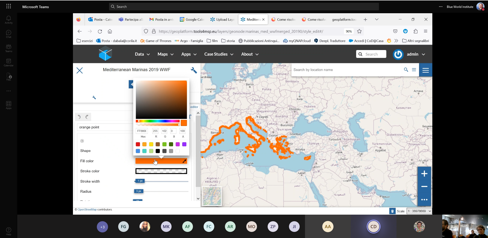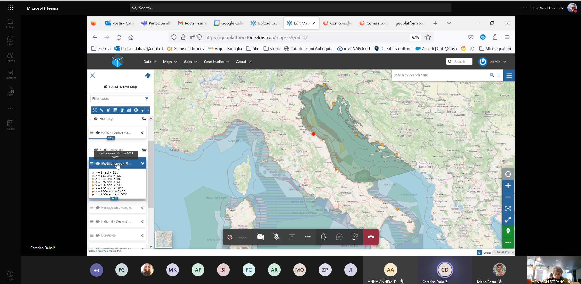
The Tools4MSP was developed by the CNS-ISMAR as a geoplatform which enables hosting, sharing and visualization of data layers and maps, with intention to serve as a support tool for researchers and decision-makers in the topic of Maritime Spatial Planning (MSP). As such, this geoplatform enables integration of various geo-referenced data, including data on chemical, microbiological or acoustic pollution, marine traffic and distribution of species and habitats. Capitalizing on previous Interreg Italy-Croatia projects which collected such data, HATCH project partners will use Tools4MSP geoplatform for data harmonization and sharing and make its use an integral part of the exploitation plan and guidelines for planners and policy makers. Thus, the aim of the workshop was to train HATCH project staff on how to use many tools and functionalities of the Tools4MSP geoplatform.
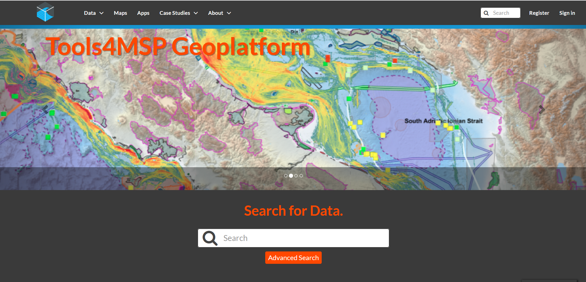
Check it out on: https://geoplatform.tools4msp.eu/
HATCH project team participated in a workshop presenting Tools4MSP platform. The workshop was organized by CORILA and the presentation was held by CNR-ISMAR, one of external expert organization involved in the HATCH project.