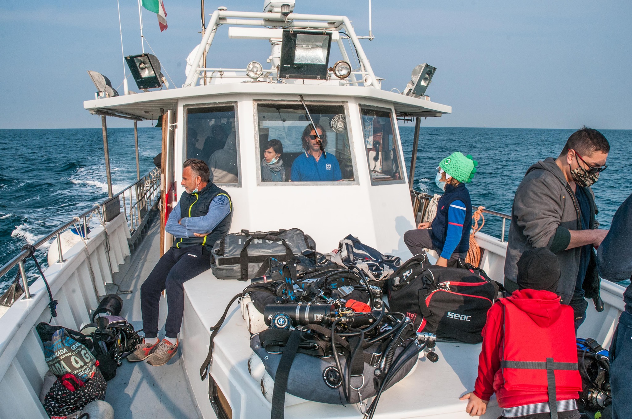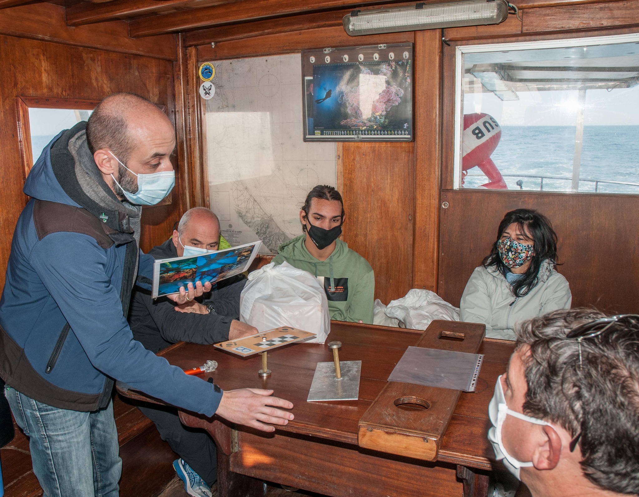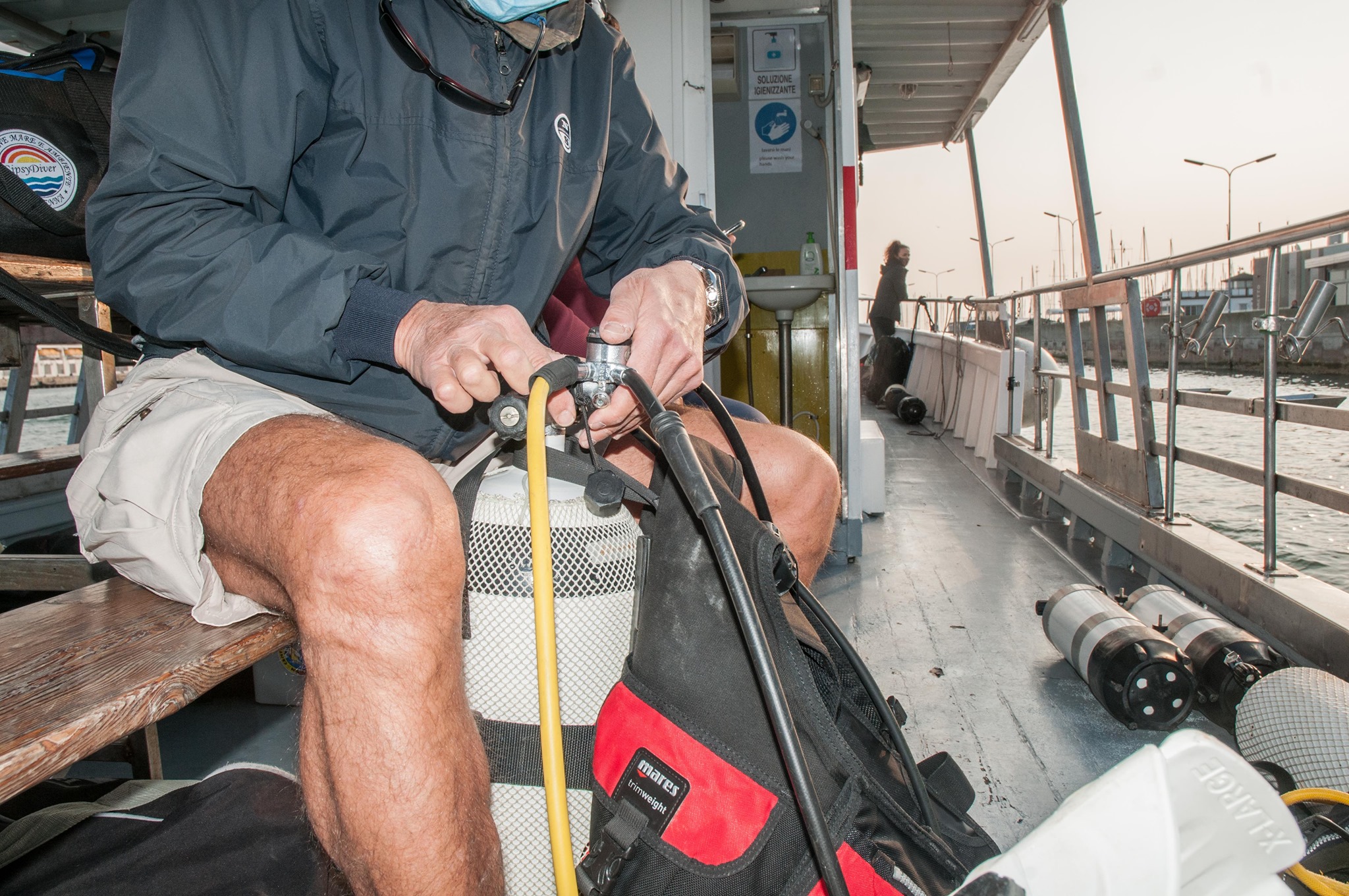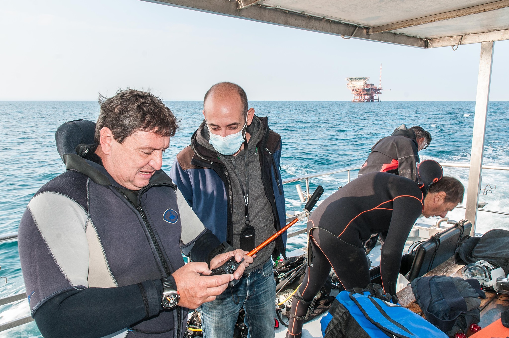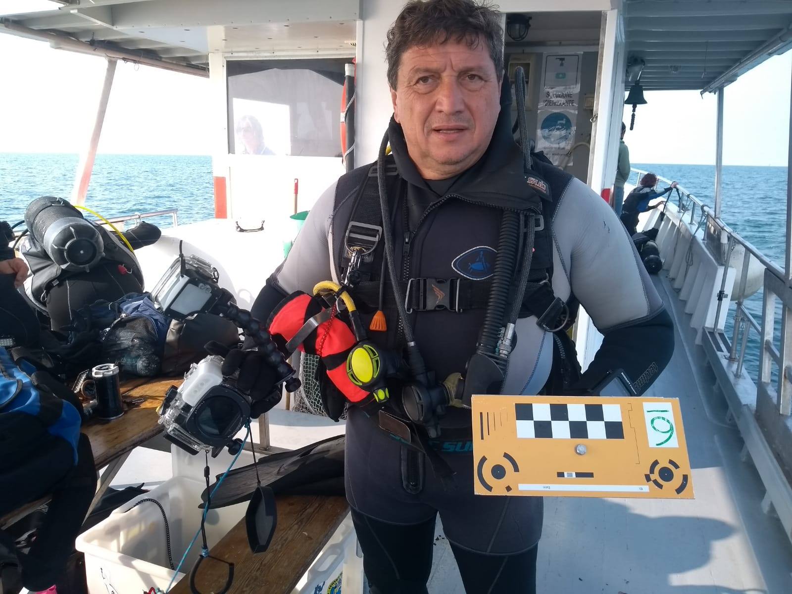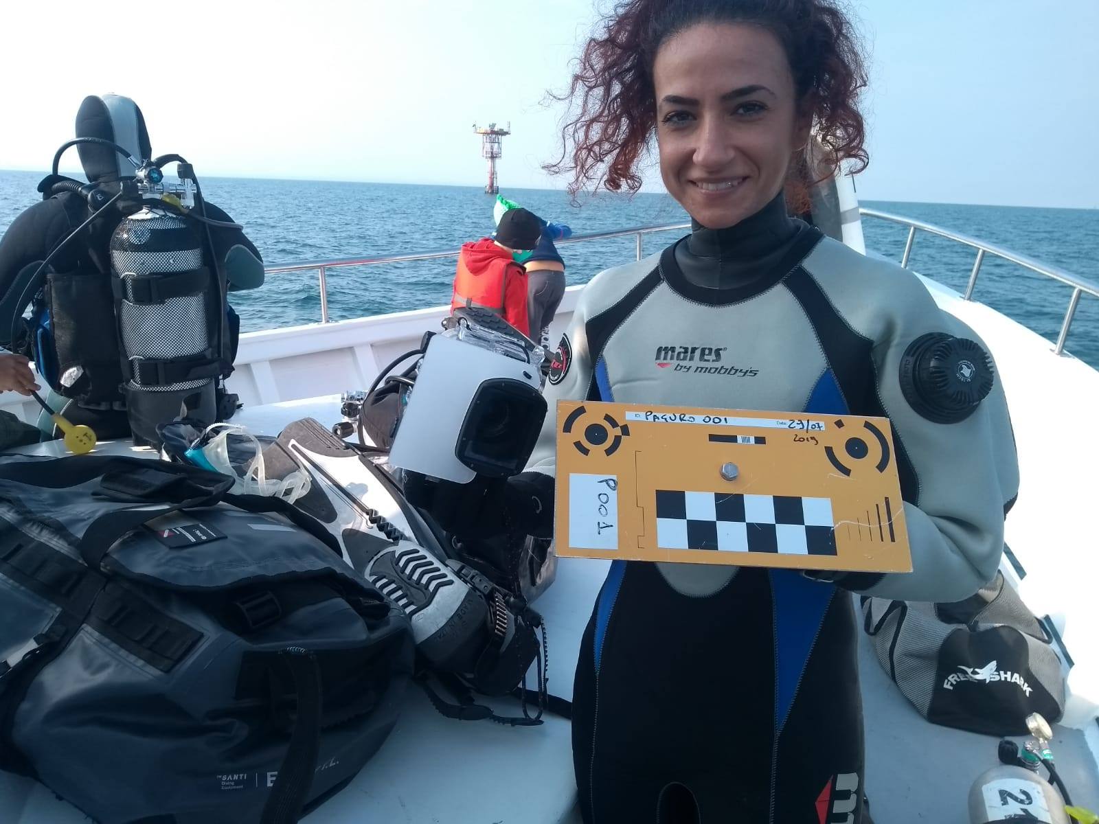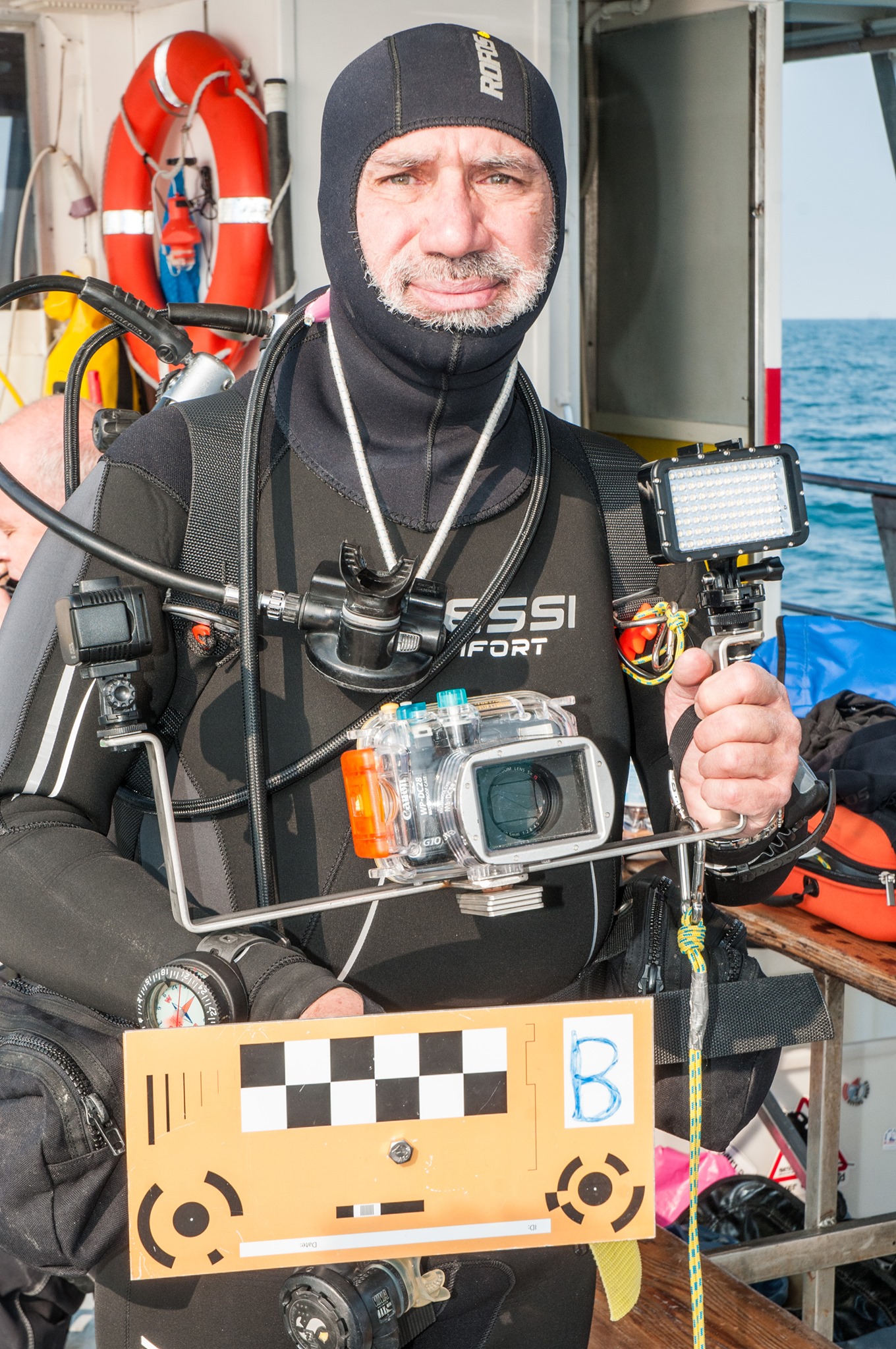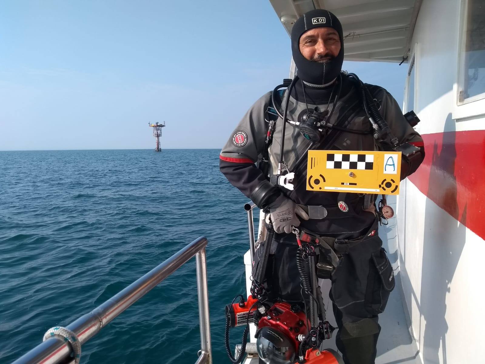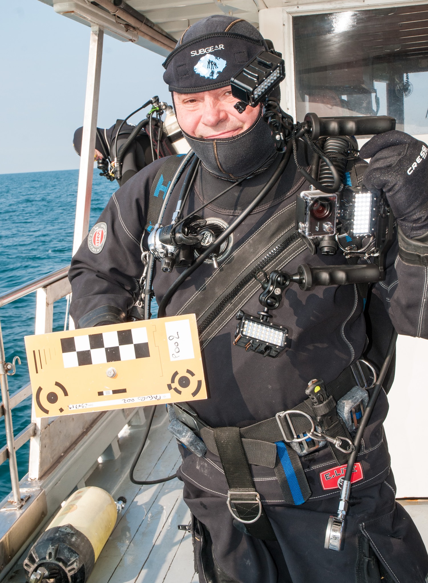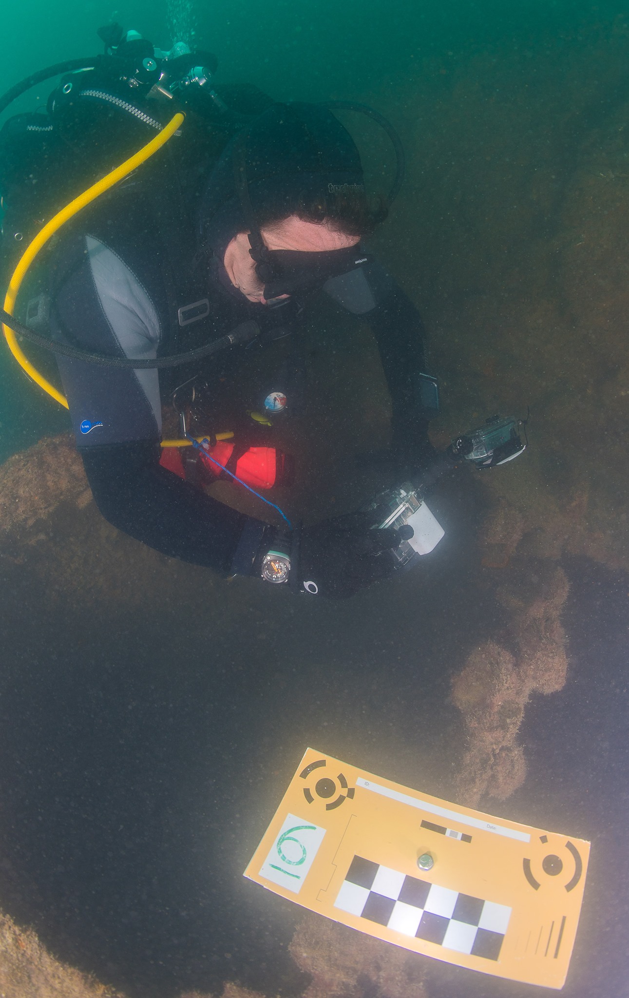
Saturday 10th October took place the first shooting of the Paguro wreck photogrammetric data with the extraordinary participation of amateur volunteer divers. The project and the citizen science activity for the 3D mapping of the artificial reef is realized by Ubica srl and supported by the Municipality of Ravenna, Arpae Emilia-Romagna and in the scope of the Adrireef Interreg project with the aim to foster diving activities, scientific research, natural and historic resources of the site. The activity will lead to the realization of a 3D mapping of the Paguro wreck permitting everyone to explore the vitality of the underwater world. The Elisa motorboat supported the event by offering a discount to the amateur photographers who collected around 3.500 photos in two diving sessions. The group was coordinated by the Ubica staff and by the diving guides of the Associazione Paguro. A special acknowledgement goes to Mauro Pazzi for his photographic contribution.