


DigitalPlan DSNN Platform: From Static Plans to a Living Picture of Risk
07/08/2026
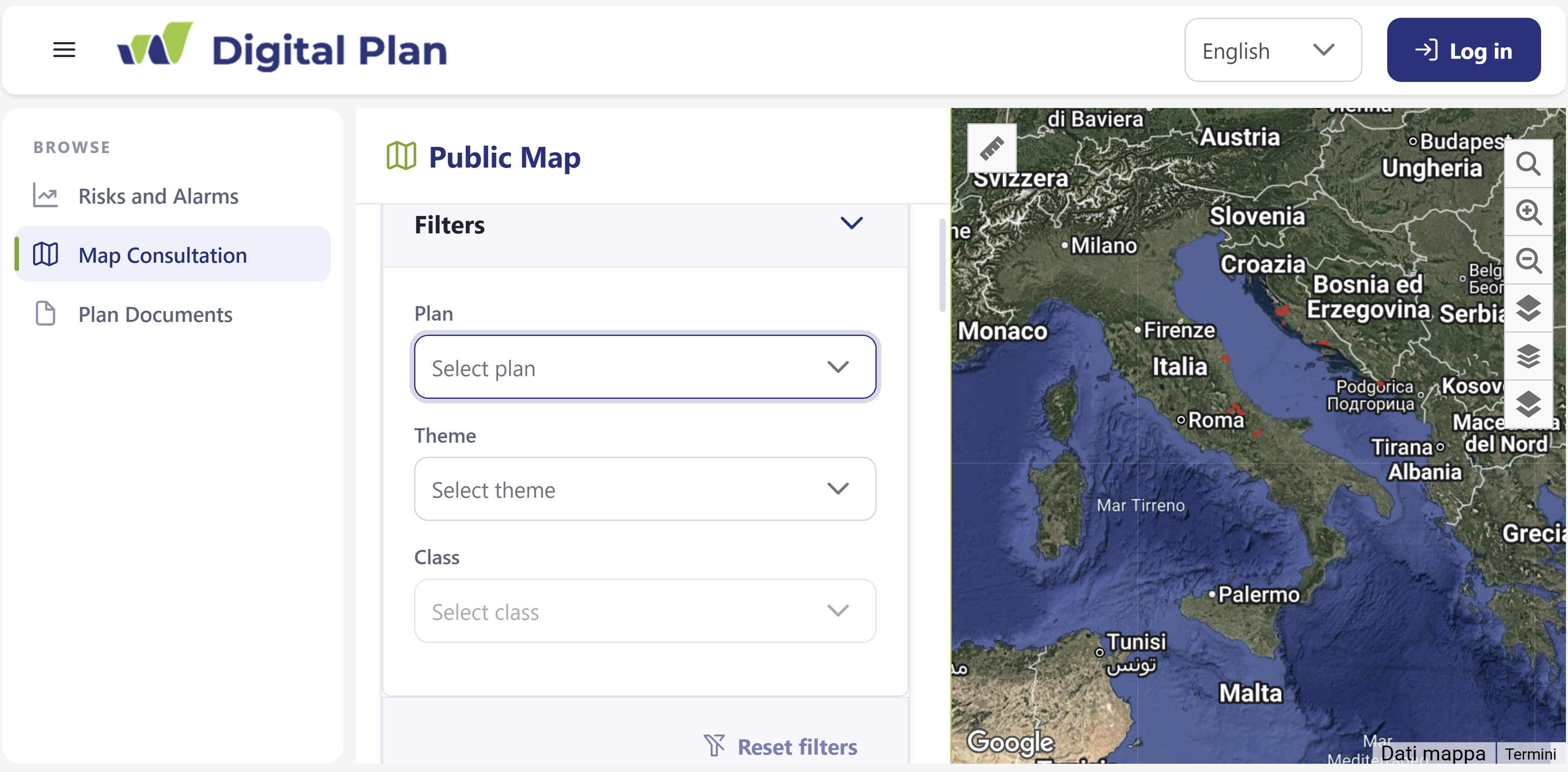
Civil protection is increasingly relying on timely information, available data, and efficient information exchange between responsible services. With this goal in mind, within the DigitalPlan project, the DSNN platform was developed — a digital environment that connects civil protection plans, geographic data, and data collected through IoT sensors.
The platform was developed for project partners in Italy and Croatia in order to enable simpler access to information on risks, infrastructure, resources, and current field conditions. In one place, it brings together information that was traditionally stored in different documents, maps, and systems.
From traditional plans to an interactive map
One of the key functionalities of the platform is the digitalization of civil protection plans. Data on risk areas, strategic facilities, critical infrastructure, assembly points, and other important elements of the plan are displayed on an interactive map.
This allows complex spatial data to be viewed in a simpler and more transparent way. Users can more easily identify where risk areas, important facilities, and available resources are located, and connect them with relevant documents.
The platform also enables the linking of cartographic data with technical reports, official documents, and PDF materials. Instead of searching through multiple separate files, information is organized according to a common thematic structure and accessible through a single digital interface.
Sensor data for better insight into field conditions
A special value of the platform is the ability to integrate IoT sensors deployed in project pilot areas.
The sensors collect data on environmental conditions, allowing planned risk information to be supplemented with real-time field data. In this way, the platform is not only a digital version of an existing plan, but also enables its connection with continuously collected data.
The data can be displayed through different risk levels, while the Decision Support System (DSS) enables comparison of measured values with predefined thresholds. When certain values are reached, the system can generate alerts and notifications.
Support for decision-making and coordination
By combining spatial data, civil protection plans, and real-time sensor data, a more complete picture of the situation is obtained.
This can help responsible authorities in:
- faster identification of risk-exposed areas and facilities
- better planning of preventive activities
- monitoring current field conditions
- timely response to changes
- more efficient coordination of different services and stakeholders
The shared digital environment also facilitates cooperation between local and regional self-government units, civil protection authorities, emergency services, and other relevant stakeholders, including cross-border project partners.
Information also available to citizens
The platform is also designed with the aim of making certain information available to the general public. Citizens and interested stakeholders can use the public part of the platform to view available maps, documents, risk information, and warnings, without the need for specialized GIS software.
In this way, the digitalization of civil protection plans serves not only responsible institutions, but also contributes to greater accessibility of information and a better understanding of risks within the local community.
The DigitalPlan DSNN platform thus connects three important elements — planning, monitoring, and communication — creating a digital and up-to-date environment to support civil protection and strengthen the resilience of areas along the Adriatic.