
The four pilot areas
The project involves four pilot observing campaigns in four different areas of the Adriatic basin for understanding and monitoring Non-Indigenous Species (NIS) that pose a threat to marine ecosystems, public health, and socio-economic activities in the Adriatic Sea.
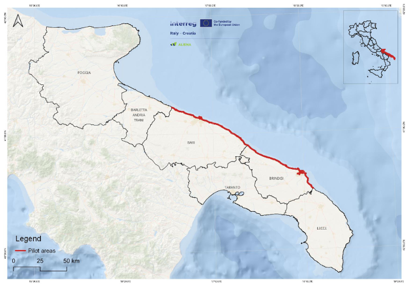
The pilot area chosen for the Puglia Region was identified in the coastal marine area of the southern Adriatic, on the Italian side between the territory of Molfetta (Bari) and Torchiarolo (Brindisi). In general terms, the average slope of the continental shelf of the Puglia Adriatic is in the range of 1÷2%: the values are, on average, lower in the north-western part and increase towards the south-east, where the percentages reach values of 4÷5%. With regard to the geomorphological aspects, the pilot area, located in the centre of the Apulian Adriatic coast, is of particular interest: 73% of the coast is rocky, 16% is sandy, pebbly and inshore, and the remaining 11% has been modified by human activity and infrastructure.
The choice of this area was based on the widespread presence of rocky seabeds, with associated habitats and benthic communities of hard and/or biocementitious seabeds, extending from the mediolittoral to the infralittoral, and on the high level of anthropisation due to the presence along the coast of some of the most important cities in Puglia, as well as several ports and coastal defence works (hard structures).For these reasons, this pilot area was selected because it is potentially vulnerable to the invasion of alien marine species that can affect biodiversity, public health, the economy and ecosystem services in general.
The presence of several ports, including the medium-large ones of Bari and Brindisi, which are characterized by intense cross-border maritime traffic, as well as the generally high level of anthropisation and urbanisation of the coast (with the presence of treated urban waste water discharges, etc.) could, under certain circumstances, facilitate the establishment of invasive species. The alien species already recorded in the reference macro-area are: Ostreopsis cf. ovata (Ungaro et al., 2010), which also poses public health problems (Gallitelli et al., 2005), Mnemiopsis leidyi (sea nut) which has caused damage to local fishing and Caulerpa racemosa var. cylindracea, massively present in the coastal area of Brindisi and Torre Guaceto, (Felline et al., 2014) which has contributed to significant alterations of the benthic communities in recent years.
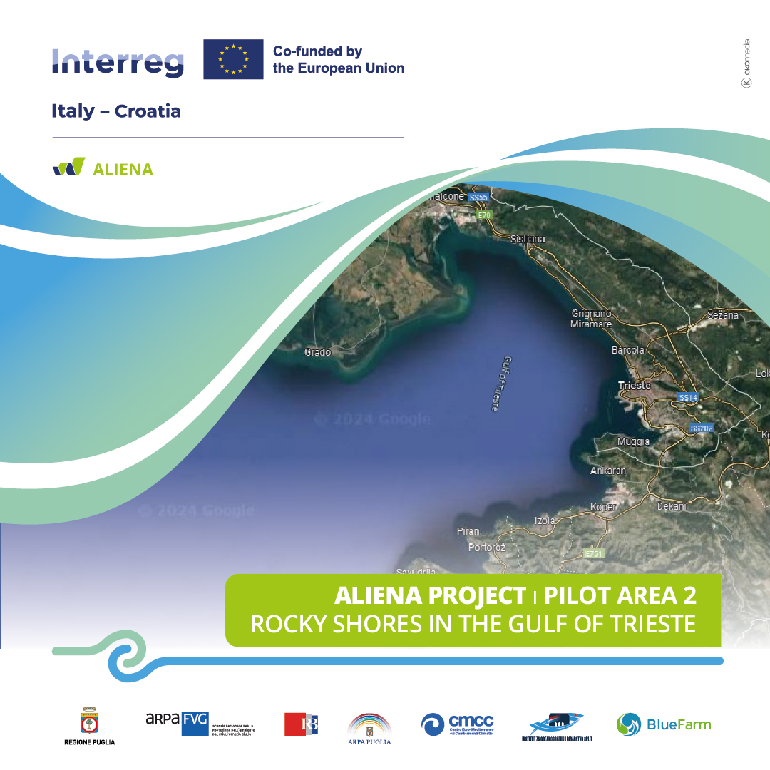
The Gulf of Trieste is a semi-enclosed basin located in the northern Adriatic Sea, bounded by the Tagliamento River (IT) to Cape Savudrija (HR). It features diverse coastlines, with rocky eastern shores and sandy, low-lying western areas. It covers 600 km² and includes the Marano-Grado Lagoon (160 km²). The shallow waters of the gulf, averaging 17 m in depth, play a critical role in Adriatic hydrography, with a tidal range of ~90 cm, significantly higher than most Mediterranean regions.
Water temperatures fluctuate seasonally from 5°C in winter to over 26°C in summer, with a variable salinity due to river inflows and lagoon exchange. Nutrient and organic matter inputs arise from riverine discharge (mainly the Isonzo River), wastewater, and atmospheric deposition, contributing to episodic eutrophication, hypoxia, and jellyfish blooms. Despite urban pressures, ecological monitoring by ARPA FVG has reported high ecological status for macrozoobenthos and phytoplankton based on the EU's Water Framework and Marine Strategy Directives.
With its busy ports and aquaculture, the Gulf is highly vulnerable to invasive species. Some particularly significant invasions of NIS are:
🔹 Mnemiopsis leidyi (comb jelly), introduced via ballast water, causing ecosystem disruptions;
🔹 Callinectes sapidus (blue crab), impacting fisheries and recognized among the 100 worst invasive species in the Mediterranean;
🔹 Ostreopsis ovata (toxic dinoflagellate), causing periodic blooms linked to health risks.
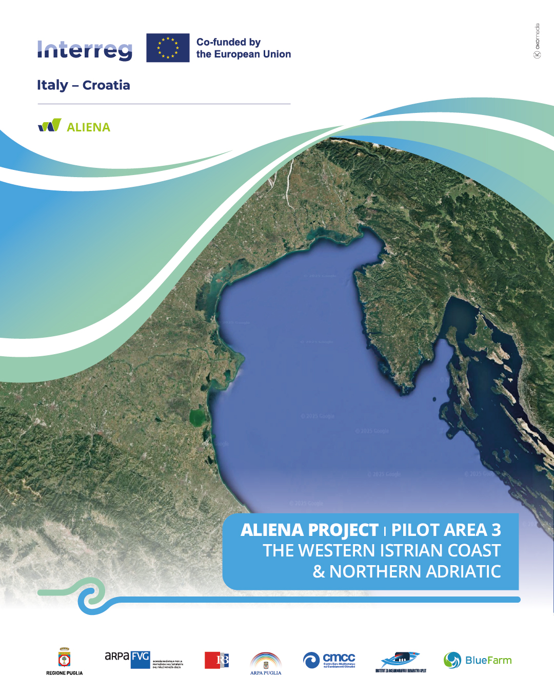
The western Istrian coast and the Northern Adriatic represent the third pilot area of the ALIENA project. This region is characterized by shallow waters (30-40 m) and is significantly influenced by atmospheric forcing. Water temperatures vary seasonally from 9°C in winter, under the influence of Bora winds, to over 26°C in summer. Salinity fluctuates between 35-38 PSU, occasionally affected by the intrusion of highly saline and warmer Levantine waters. Long-term changes in thermohaline parameters are complex due to seasonal freshwater inflows, atmospheric conditions, and the periodic inflow of high-salinity waters from the southern Adriatic.
Nutrient and organic matter inputs originate from riverine discharge (primarily the Po River), regeneration processes, wastewater, and atmospheric deposition. These factors contribute to episodic mucilage events, hypoxia, and jellyfish blooms.
Ecological monitoring in the area is conducted by the Center for Marine Research, Ruđer Bošković Institute. Water Framework Directive (WFD) monitoring has been ongoing for over a decade in Istrian coastal waters, assessing macrozoobenthos and phytoplankton as biological quality elements. Despite persistent anthropogenic pressures and the region’s highly variable environmental conditions, soft-bottom macrozoobenthos analyses indicate a High and Good ecological status.
The area is subject to multiple stressors, including urbanization, maritime traffic, tourism, and aquaculture. Due to intense anthropogenic pressure, it is highly vulnerable to invasive species. Some particularly significant invasions of NIS include:
🔹 Mnemiopsis leidyi (comb jelly), introduced via ballast water, causing ecosystem disruptions;
🔹 Callinectes sapidus (blue crab), impacting fisheries and recognized among the 100 worst invasive species in the Mediterranean;
🔹 Ostreopsis ovata (toxic dinoflagellate), causing periodic blooms linked to health risks.
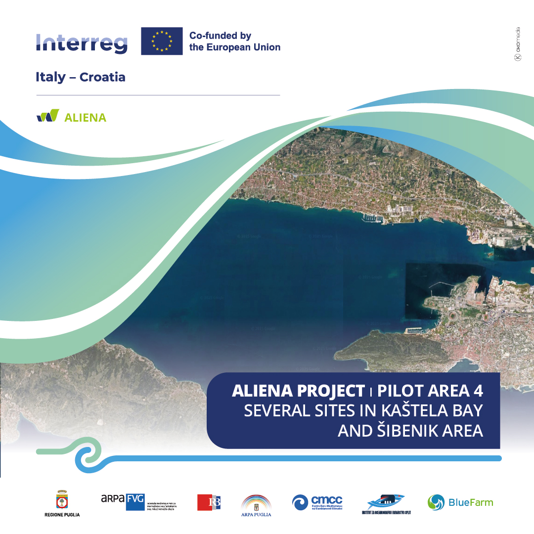
🔹 Kaštela Bay is the largest bay in the coastal area of the central Adriatic (HR). It is a semi-enclosed bay bordered by the island of Čiovo, the slopes of Mount Kozjak and the Split peninsula. It has a total area of 61 km2 and an average depth of 23 m and is connected to the adjacent channel by a 1.8 km wide and 40 m deep inlet.
The main freshwater source is the Jadro River, which flows into the eastern part of the bay (Vranjic Basin), with an average annual inflow around 10 m3/s. The Kaštela Bay area is exposed to anthropogenic influence, from municipal sewage, industrial effluents, rivers and underwater sources, leaching from agricultural land and atmospheric deposition. The main sources of marine pollution are maritime traffic, nautical tourism, mariculture and fishing.
🔹 Šibenik Bay is part of the highly stratified Krka estuary in the central part of the eastern Adriatic coast. The Krka River is one of the most pristine rivers in Europe and is 49 km long before it flows into the estuary. The 2450 km² karstic watershed is scarcely inhabited and is partly located in the Krka National Park. In the lower part of the estuary lies the town of Šibenik (Šibenik Bay), which is separated from the open sea by a narrow St. Ante Channel. An anthropogenic influence was detected in the segment of the freshwater part, due to the discharge of untreated municipal and/or industrial wastewater. Nautical tourism has been associated with strong marine pollution, which increases during the summer season.