Your ships do not fear violent winds, they touch the ground with great ease without suffering damage and do not get damaged, even if they collide frequently. From a distance one can believe that they are almost carried across the meadows when it happens not to see their channel. Dragged by the ropes they proceed, which are usually tied to the hawsers, and, once the situation has changed, the men on foot help them to advance. The words that the senator and prefect of the praetorium Cassiodorus addressed to the maritime tribunes of Venetia (Variarum libri XII, 24; 537-538 AD) asking him to transport the wine and oil of the province of Istria to Ravenna, evoke with great force the changing and fluid landscape of the Marano lagoon in Roman and late antiquity.

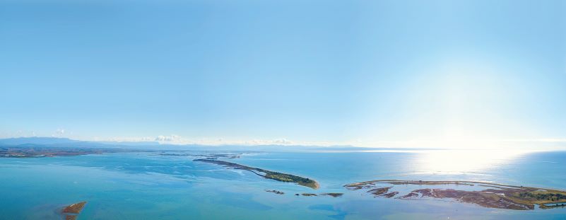
The image of lands suspended over water, different from that liquid world we see today, finds important confirmation in the geoarchaeological investigations of the Stories from the Sea project. The cores and measurements conducted in the excavated sites have allowed us to reconstruct the position of these in Roman times and to quantify the relative sea level rise in the last two thousand years between 1.3 and 1.9m. In Isela, a site now located 400m away from the edge of the lagoon, the archaeological structures are located on the top of an original river ridge, formed at the end of the last glaciation (19,000 years ago), probably originally connected with the mainland; we must imagine a spit of land that went into the lagoon, previously perhaps up to Piere del Ficariol placed on the same alignment. The ridge was then submerged due to the rising sea level in the post-ancient age. At the Tribel site, the Roman buildings were erected over a succession of brackish marshy soils, typical of island environments; in Roman times, the area was therefore an island, much wider than the current sandbank, as indicated by the extension of the remains, subsequently eroded by the lateral migration of the canals. In S. Andrea, the archaeological site investigated is partly located above the filling of an older lagoon channel, which ran close to a sandy strip; this indicates that S.Andrea was a coastal island already in Roman times, the site was probably near a mouth of the lagoon that divided the island into two sections, as can be seen in the seventeenth-eighteenth-century maps. The absence of large brackish marshes and the apparent hydrodynamic stability over the last 2,000 years lead us to hypothesize that even in Roman times there were few islands. The sites located there, such as those of Tribel and S.Andrea, could represent key points for control and commercial traffic in the lagoon area; this would also explain their long duration or the different phases of employment.
The area was certainly part of the territory of Aquileia(ager), as can be deduced from the same orientation of the buildings (20-22 ° W), respected both in the layout of the urban center and throughout the Friuli plain from the sea to the hilly slopes; the various lagoon settlements, of a mixed, residential and productive nature, were certainly in close relationship with the large terminal, with which they communicated through the artificial waterway of Canale Anfora. This, 5km long, was an integral part of the hydrographic network that surrounded Aquileia and made it, although internal, the largest port in the north-central Adriatic.