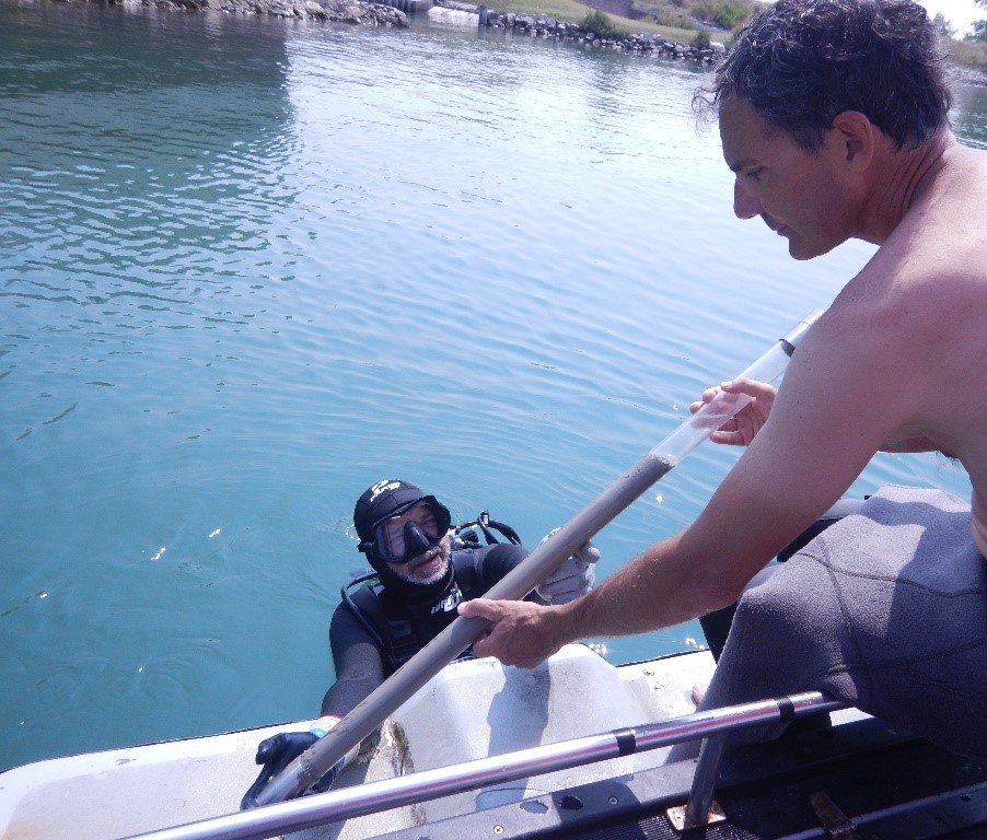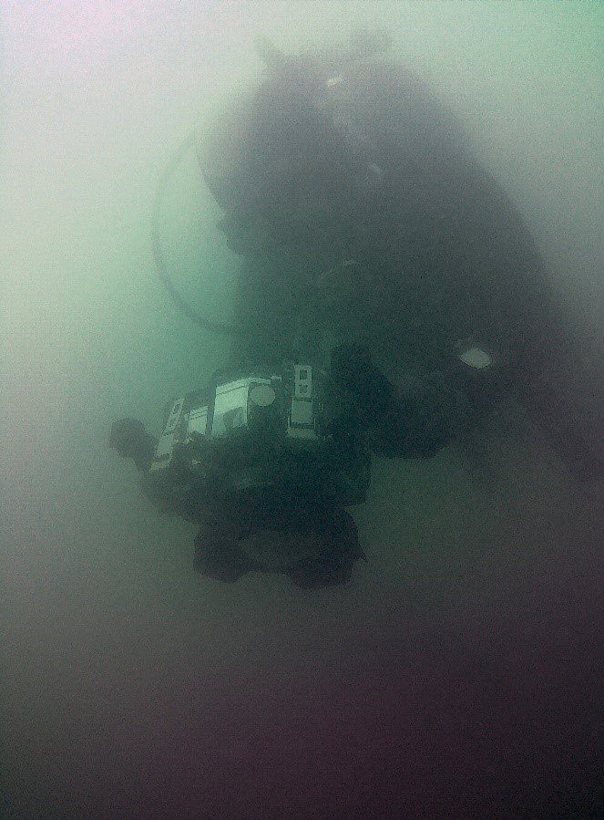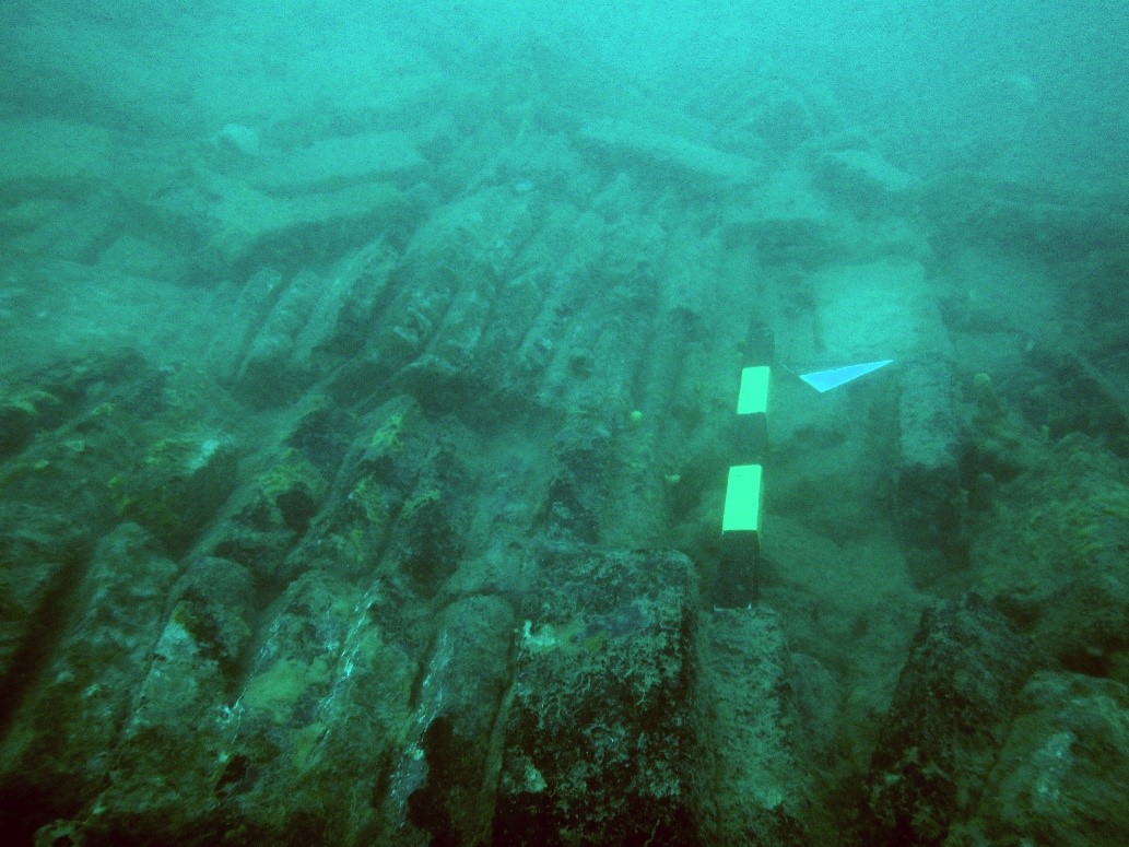
The Venetian context, in particular the lagoon, represents an important case study, due to the really low visibility, around a medium of 50 cm, and due to the high range of tides that create a very strong current almost all the days. The excavation in this condition is very hard and only some divers, with a professional or long experience, could afford. This context has the perfect features to demonstrate how digital and virtual approach is the only way to show the invisible and disseminate the underwater cultural heritage, despite the difficult conditions to work and the difficult processing to obtain results. This approach permits to give an overall view of the site, to show the invisible both to the archaeologists and to the wide public. The archaeological sites, both in lagoon and the sea, are already known to researchers, but they aren’t widely investigated. In the lagoon we have found: the so-called St. Felice tower, a big structure with sesquipedalian bricks whose function we are trying to specify and demonstrate; the site near Ca’ Ballarin, represented by a cisterna and a pier, fragmented in 7 pieces and with some structural poles; a villa Romana near Lio Piccolo, still under study. In the sea in front of Venice, we have investigated the Bricks wreck, at 20 meters of depth, a big mound of bricks of a cargo dated probably to XVI century and three shipwreck dated to XIX century, two out of Eraclea and one out of S. Nicoletto.


Different techniques have been employed to bring us all the archaeological information and measurement and to give the possibility to disseminate to the wide public the underwater sites: graphics, photographic and video documentation, topographic surveys, geophysics investigations, with Multibeam and Sub Bottom Profiler, and photogrammetric surveys.